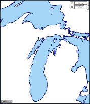
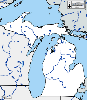
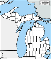
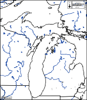
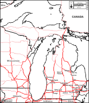
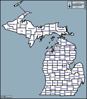
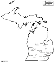
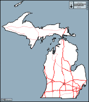
d-maps > United States of America (USA) > Michigan > Michigan > outline, counties, main cities, roads, color

Michigan
State of Michigan

outline
counties
main cities
roads
color
Michigan : counties
Alcona, Alger, Allegan, Alpena, Antrim, Arenac, Baraga, Barry, Bay, Benzie, Berrien, Branch, Calhoun, Cass, Charlevoix, Cheboygan, Chippewa, Clare, Clinton, Crawford, Delta, Dickinson, Eaton, Emmet, Genesee, Gladwin, Gogebic, Grand Traverse, Gratiot, Hillsdale, Houghton, Huron, Ingham, Ionia, Iosco, Iron, Isabella, Jackson, Kalamazoo, Kalkaska, Kent, Keweenaw, Lake, Lapeer, Leelanau, Lenawee, Livingston, Luce, Mackinac, Macomb, Manistee, Marquette, Mason, Mecosta, Menominee, Midland, Missaukee, Monroe, Montcalm, Montmorency, Muskegon, Newaygo, Oakland, Oceana, Ogemaw, Ontonagon, Osceola, Oscoda, Otsego, Ottawa, Presque Isle, Roscommon, Saginaw, Sanilac, Schoolcraft, Shiawassee, St. Clair, St. Joseph, Tuscola, Van Buren, Washtenaw, Wayne, Wexford.
| About | Terms and conditions of use | Guest book | Privacy Policy 
© 2007-2026 https://www.d-maps.com